Loading…
Loading…
Duration
Course Type
Fee Amount
Procedure
Merit prepared on basis of the qualifying exam
Provisional
As per UGC/AICTE norms.
2 Years (4 Semesters)
NIL
| Course Code | Course Name | Credit |
|---|---|---|
| Research Methodology | 3 | |
| Principles of Remote Sensing & Photogrammetry | 4 | |
| Geographic Information System | 4 | |
| Geocomputation and Geoweb | 4 | |
| Project Lab - I | 3 | |
| TOTAL CREDITS | 18 | |
| Course Code | Course Name | Credit |
|---|---|---|
| Digital Image Processing | 4 | |
| Geostatistics | 4 | |
| Digital Cartography & Navigation systems | 4 | |
| Project Lab - II | 6 | |
| TOTAL CREDITS | 18 | |
| Course Code | Course Name | Credit |
|---|---|---|
| Geographic Information System lab | 2 | |
| Digital Image Processing Lab | 2 | |
| Minor Dissertation | 12 | |
| TOTAL CREDITS | 16 | |
| Course Code | Course Name | Credit |
|---|---|---|
| M. Tech Dissertation / Thesis | 18 | |
| TOTAL CREDITS | 18 | |
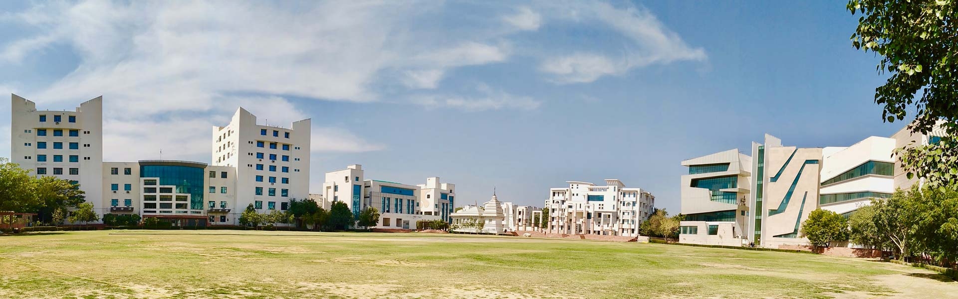
SGVU offers compelling advantages.
The key focus of this programme is to develop student’s skills in the field of Geoinformatics technologies and applications with emphasis on various research activities ranging from understanding of atmospheric phenomena, climate simulation models, paleoclimate reconstruction, linkage between climate and river basin dynamics, flood hazards, impacts of climate on hydrologic cycle, water resources, crop productivity etc. Being a research driven course, it is expected to accelerate our past year scattered research and is dedicated to high quality research.
This programme is offered by the Centre for Climate Change and Water Research (C3WR) that has been established in Suresh Gyan Vihar University. The key focus of C3WR is to deliver up to date knowledge of geospatial technologies like Remote Sensing, Geographic Information System (GIS), Global Positioning System (GPS), and Satellite Image Processing. The primary goal of C3WR is to develop infrastructure and facilities for climate change research and coherent multi-disciplinary research group and manpower to engage in large projects of national and social relevance. C3WR is extensively involved in teaching, research, consultancy programmes towards the needs of developing and demonstrating the technology of satellite data utilization and development of Geoinformatics for various applications.
The programme is specifically designed to
Specific Domain Related Outcomes Include:
Dissertation:
Dissertation / thesis of six months is incorporated in the course curriculum to provide hands on training and research experience to students. It will improve problem solving abilities, spatial data analysis and field experiments.
Professional Enhancement:
In addition to core courses, subjects like proficiency in co-curriculum activities, employability skills, seminars, industrial mentor and training, internships, and field visits etc.
Innovative Pedagogy:
Innovative pedagogical methods including demo kits in addition to animations, video lectures, presentations to communicate effective teaching and learning process, development plan for online learning materials.
Apply Now for Admission