Loading…

Loading…
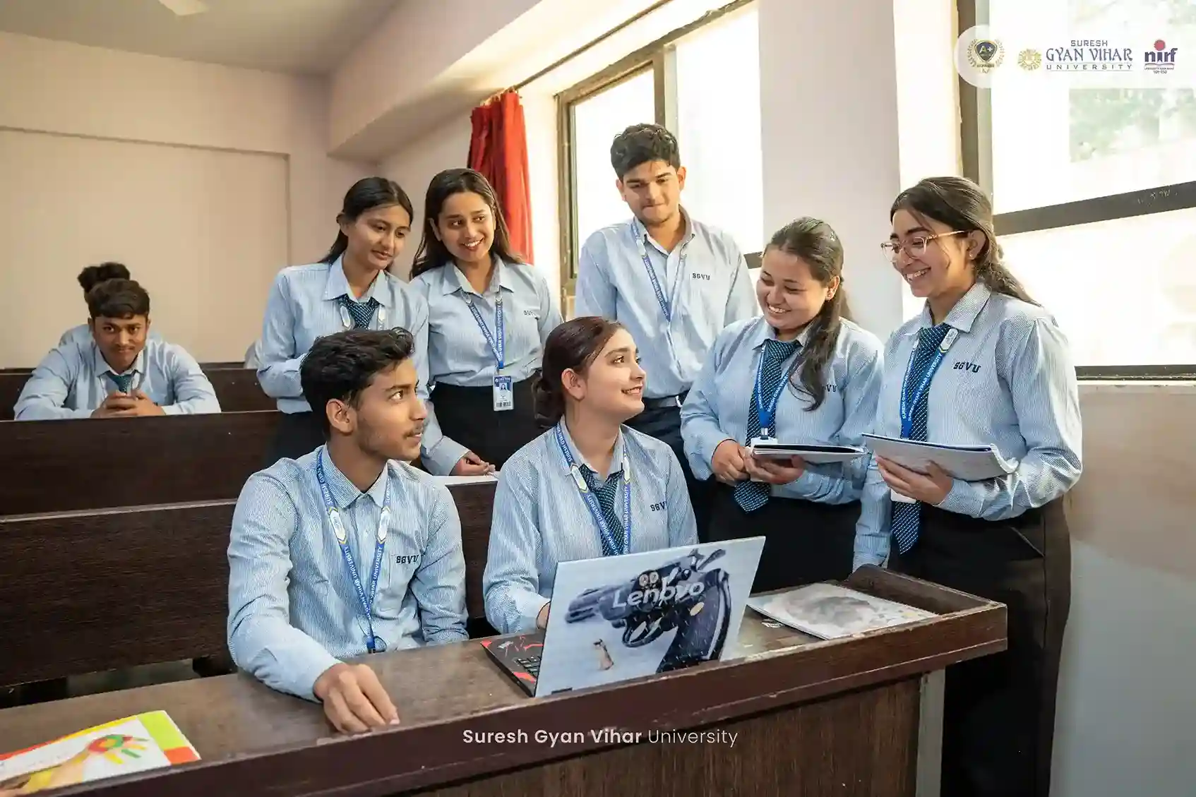
SGVU offers compelling advantages.
M.Sc. Geoinformatics
International Package

M.Tech. Geoinformatics
International Package


M.Tech. Geoinformatics
International Package


M.Sc Geoinformatics
International Package
M.Sc Geoinformatics
National Package

M.Sc Geoinformatics
National Package

M.Sc Geoinformatics
National Package

Give Wings to Your Dreams
Give Wings to Your Dreams
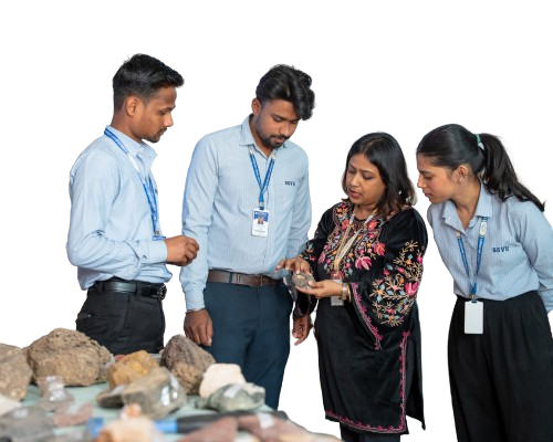
The Centre for Climate Change and Water Research (C3WR) at Suresh Gyan Vihar University (SGVU), Jaipur, is an interdisciplinary research and academic hub dedicated to addressing some of the most critical environmental challenges of the 21st century. Established under the School of Sciences and Technology, C3WR integrates cutting-edge Geoinformatics, Remote Sensing, GIS, and Water Resource Management with climate science to produce globally competitive graduates and impactful research outcomes.
The Centre offers postgraduate programmes — M.Tech. and M.Sc. in Geoinformatics — along with a Ph.D. programme in an interdisciplinary framework. With NAAC A+ accreditation and a strong NIRF ranking, SGVU SGVU provides an ecosystem that blends rigorous academics with industry exposure, international collaborations, and state-of-the-art infrastructure. C3WR serves as a platform for students, researchers, and policy makers to collaborate on projects related to satellite data analysis, hydrological modelling, urban heat mapping, and disaster risk reduction.
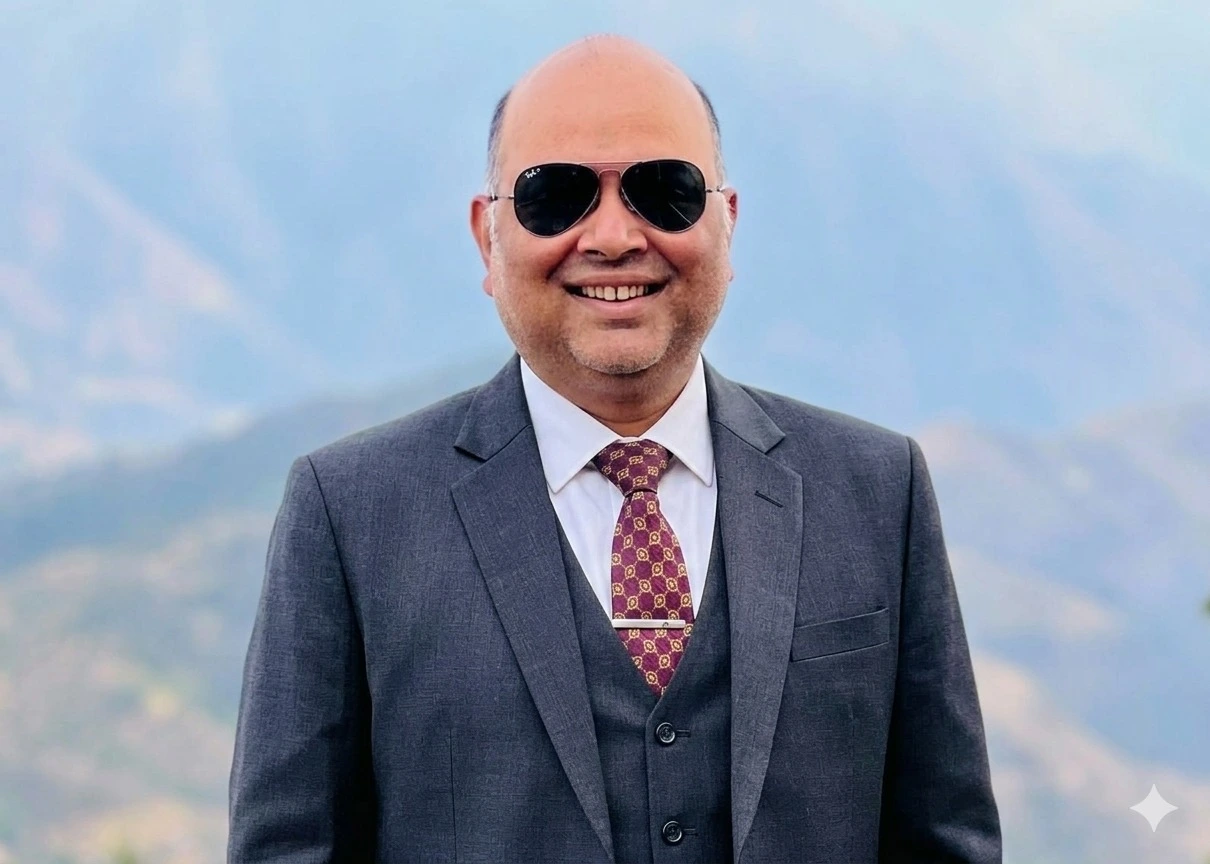
Message from
"Geoinformatics is not just a discipline — it is the lens through which we understand our changing planet. At C3WR, we prepare the next generation of geospatial scientists and environmental leaders who will drive decision-making for sustainable development, disaster resilience, and climate adaptation." //
Specialized Geoinformatics programs designed to build expertise in climate science, spatial analytics & environmental research.

A comprehensive postgraduate program focusing on GIS, remote sensing, spatial data analysis, climate modelling, and environmental mapping for research and professional careers.
2 Yrs
Duration
M.Sc.
Degree
GIS
Focus

An advanced technology-driven program integrating geospatial engineering, climate informatics, drone-based surveys, and IoT-enabled environmental monitoring for industry and research.
2 Yrs
Duration
M.Tech.
Degree
IoT
Focus
"The hands-on training in ArcGIS and Google Earth Engine at C3WR gave me a competitive edge. I secured a position at a leading GIS consultancy within months of graduation."
"C3WR's international collaborations and NASA ARSET certifications opened doors I never imagined. The interdisciplinary approach is truly unique."
Our collaboration with C3WR through student exchange and joint research on water resource management has been highly productive. The practical GIS and remote sensing training at SGVU is of excellent quality.
Van Hall Larenstein University, Netherlands
C3WR's interdisciplinary approach linking climate data, geospatial analysis, and sustainable development policy resonates deeply with IGES priorities. We look forward to expanding our joint climate adaptation research.
Institute for Global Environmental Strategies, Japan

C3WR's active engagement with open-source geospatial tools and student contributions to QGIS workflows demonstrate a genuine commitment to the open geospatial community and accessible environmental science.
Open-Source Geospatial Foundation, Global
C3WR students and faculty regularly participate in our Applied Remote Sensing Training programme. Their engagement with satellite data interpretation, land-use change, and climate applications has been outstanding.
Applied Remote Sensing Training, NASA

Through IIRS-ISRO online courses, C3WR students consistently demonstrate strong proficiency in photogrammetry, LiDAR processing, and earth observation — reflecting the rigorous academic foundation of the programme.
Indian Institute of Remote Sensing, ISRO
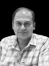
Professor
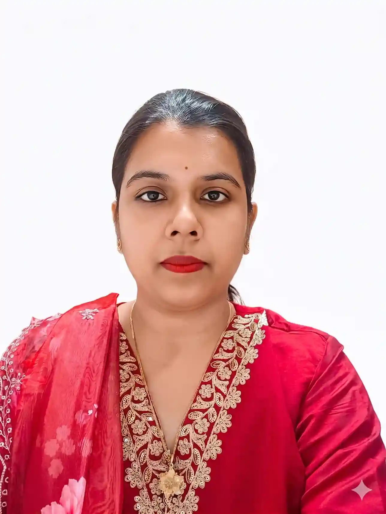
Associate Professor
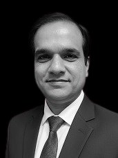
Associate Professor
Associate Professor
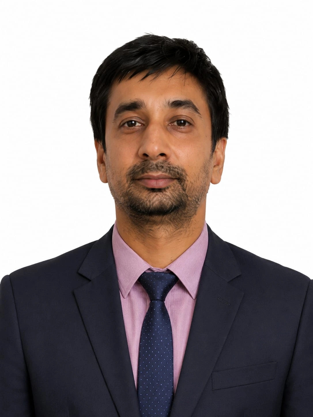
Associate Professor
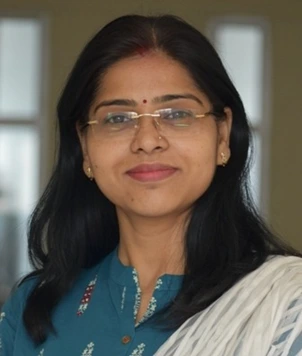
Associate Professor
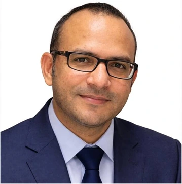
Assistant Professor

Associate Professor
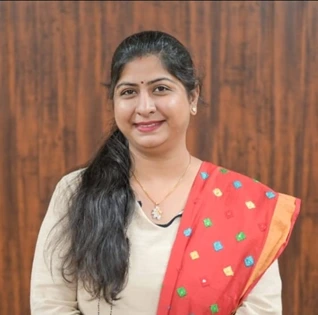
Professor
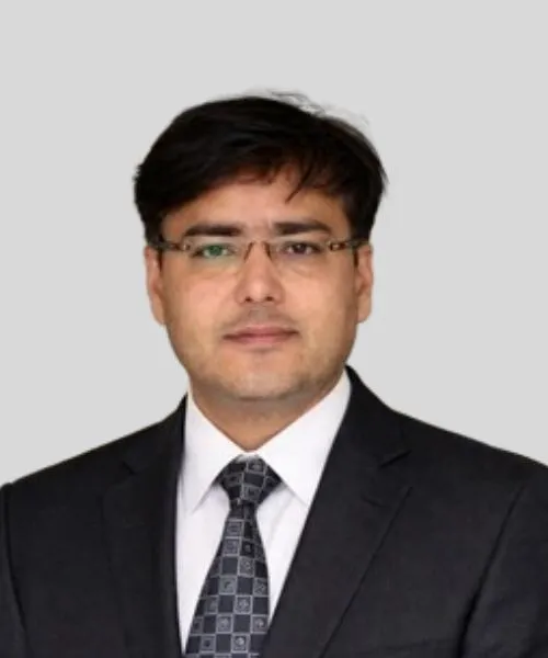
Professor
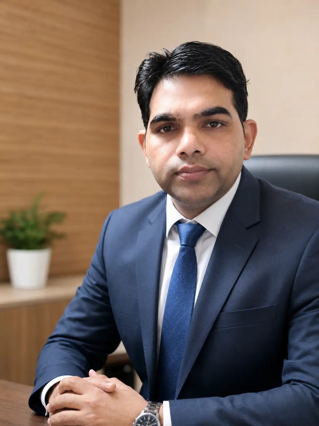
Assistant Professor

Associate Professor
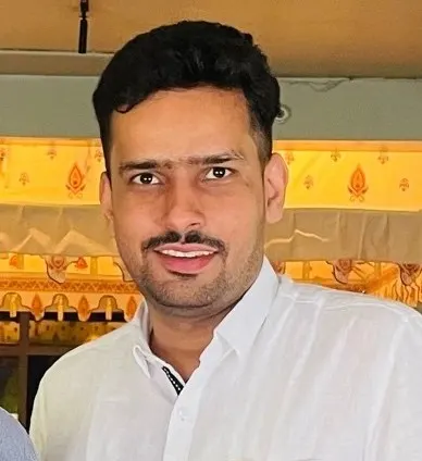
Professor
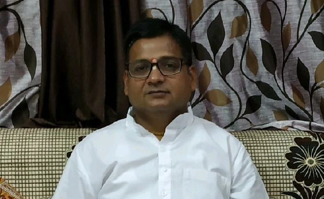
Professor

Professor
Download our complete faculty roster to learn about the visionary educators dedicated to shaping the future.
Download our comprehensive brochure to discover detailed program structures, faculty profiles, campus facilities, and placement records.
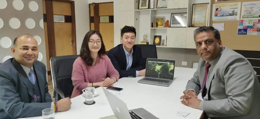
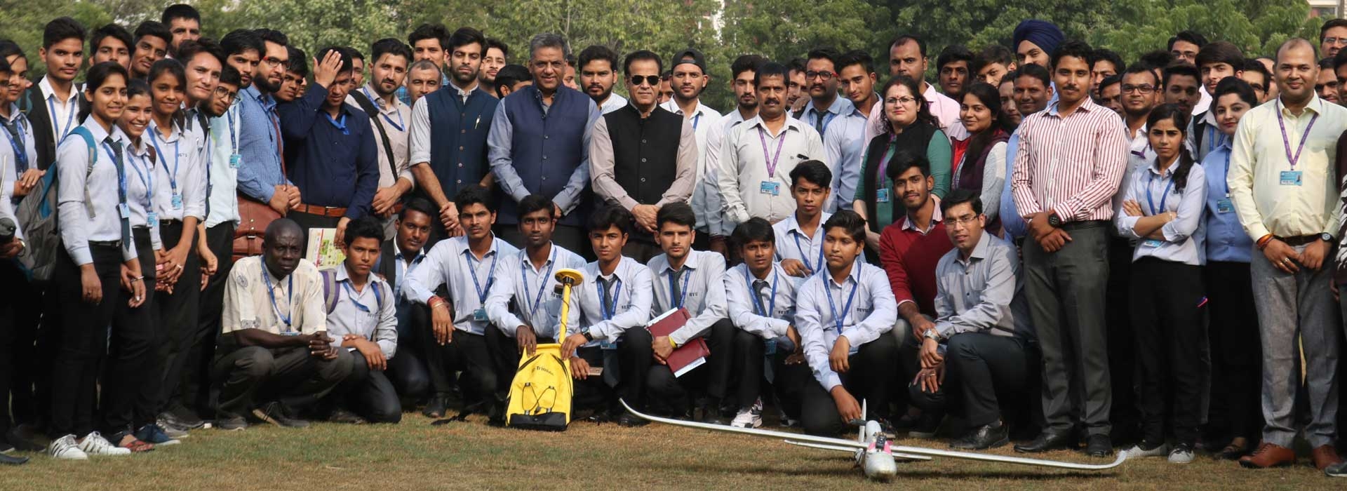
Interactive workshops and hands-on training sessions focused on equipping students with practical geospatial and climate modeling skills.
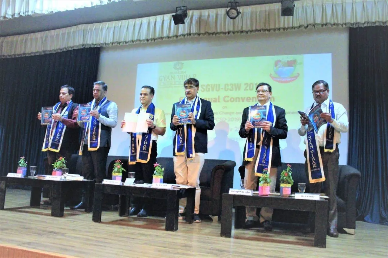
Regular industry visits and expert talks by leading scientists to provide real-world insights into geoinformatics and environmental research.
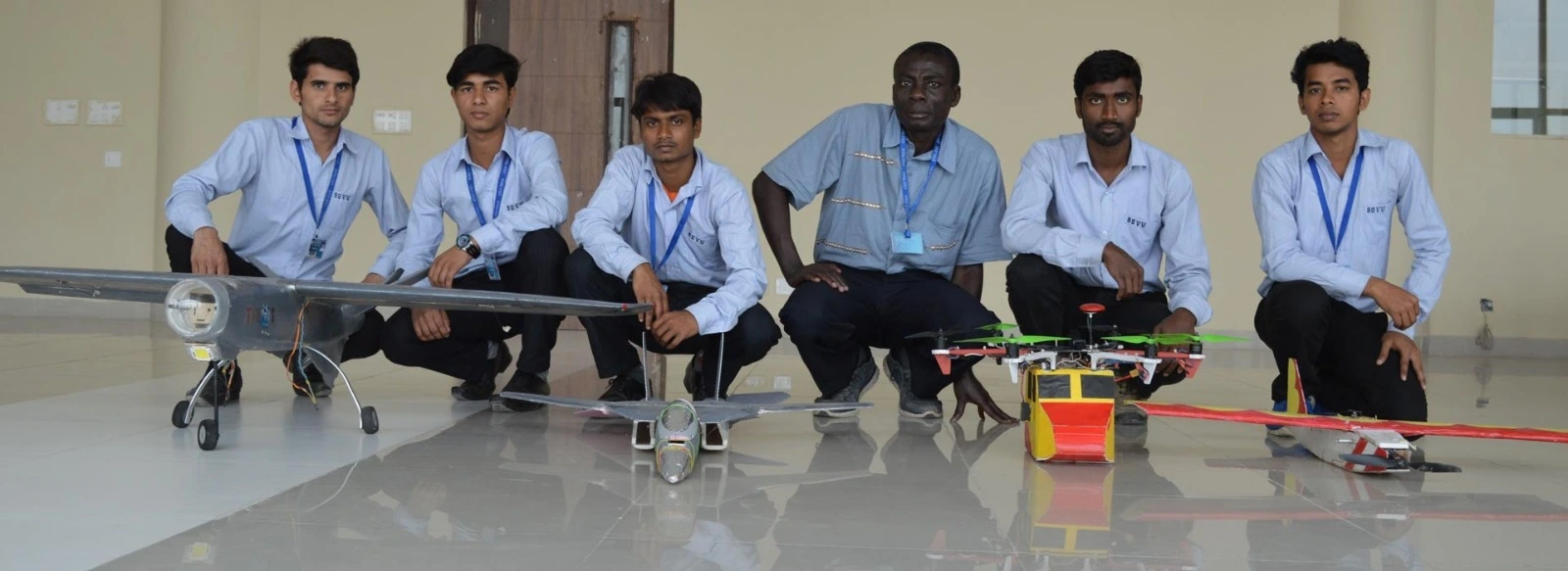
A platform for students to showcase their innovative projects and research findings in climate change, water resources, and remote sensing.
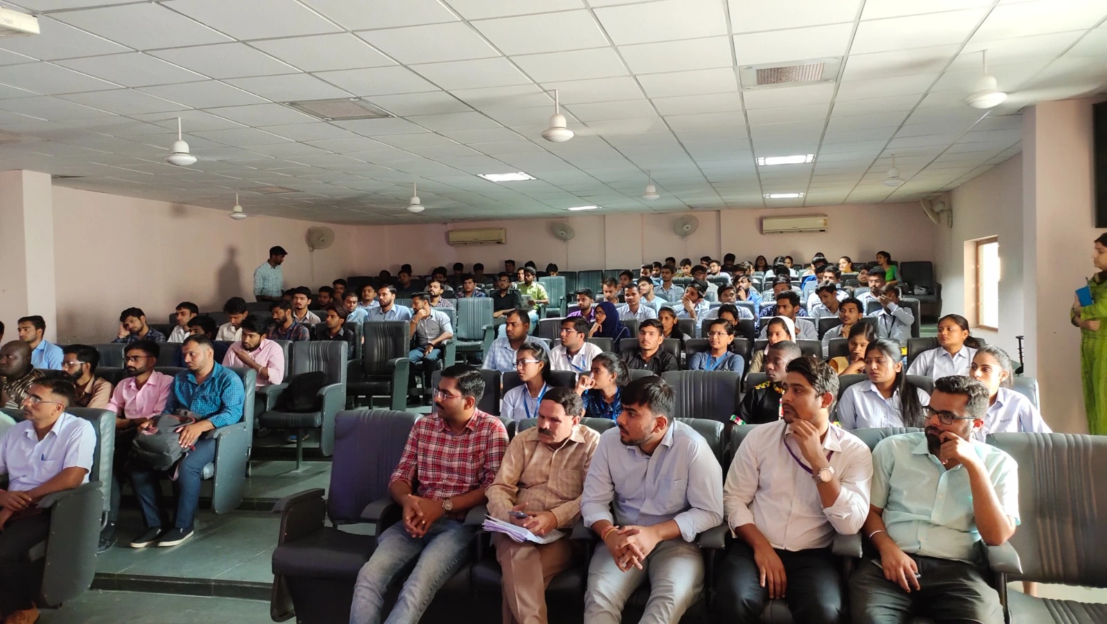
Engaging cultural events and co-curricular activities that foster team building, creativity, and a vibrant campus community.
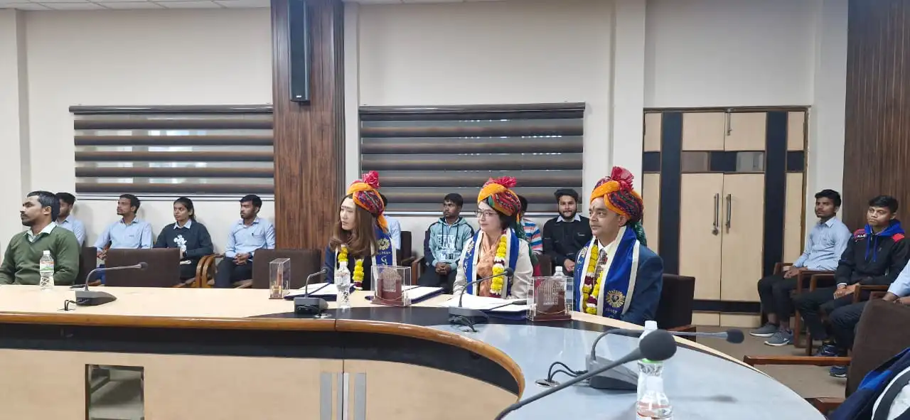
State-of-the-art laboratory equipped with high-performance workstations, ArcGIS, QGIS, and ERDAS Imagine for advanced spatial analysis.
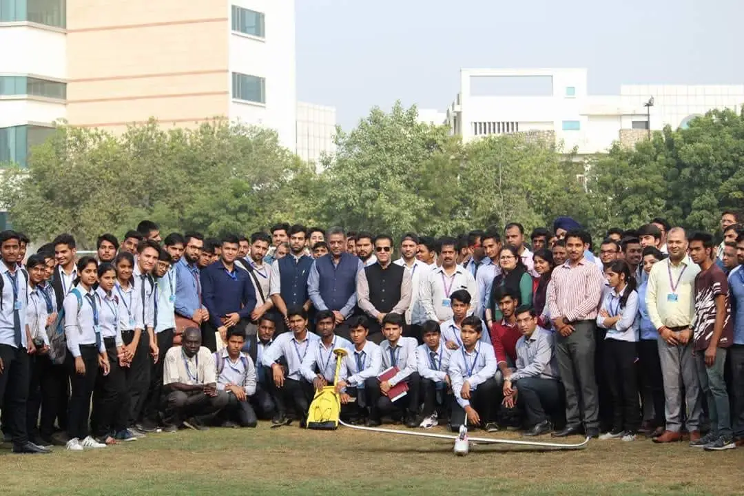
Dedicated facility for unmanned aerial vehicle (UAV) training, photogrammetry, high-resolution mapping, and aerial surveying.
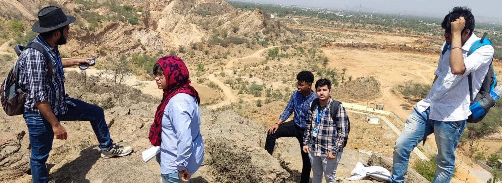
Specialized research environment for hydrological modeling, climate change simulations, and environmental data forecasting.
Established in 2008, the University is UGC-approved, with all programmes accredited by regulatory bodies.


Everything you need to know about the admissions, academics, and campus life at our School of Law.
Can't find the answer you're looking for? Please chat to our friendly team.
admissions@mygyanvihar.com Contact Us